
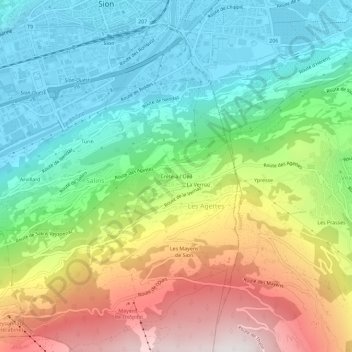
Crête-à-l'Oeil topographic map
Interactive map
Click on the map to display elevation.
About this map
Name: Crête-à-l'Oeil topographic map, elevation, terrain.
Location: Crête-à-l'Oeil, Les Agettes, Sion, Wallis, 1992, Switzerland (46.19153 7.35041 46.23153 7.39041)
Average elevation: 3,127 ft
Minimum elevation: 1,575 ft
Maximum elevation: 5,853 ft