
Nederweert-Eind topographic map
Interactive map
Click on the map to display elevation.
About this map
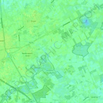
Name: Nederweert-Eind topographic map, elevation, terrain.
Location: Nederweert-Eind, Nederweert, Limburg, Nederland (51.24637 5.75823 51.31128 5.86095)
Average elevation: 105 ft
Minimum elevation: 85 ft
Maximum elevation: 118 ft
Other topographic maps
Click on a map to view its topography, its elevation and its terrain.
Nationaal Park De Groote Peel
Nederland > Limburg > Nederweert
Nationaal Park De Groote Peel, 10e baan, Ospel, Nederweert, Limburg, Nederland, 6035RM, Nederland
Average elevation: 95 ft
De Banen
Nederland > Limburg > Nederweert
De Banen, Banendijk, Nederweert-Eind, Nederweert, Limburg, Nederland, 6034ST, Nederland
Average elevation: 102 ft