
Tisri topographic map
Interactive map
Click on the map to display elevation.
About this map
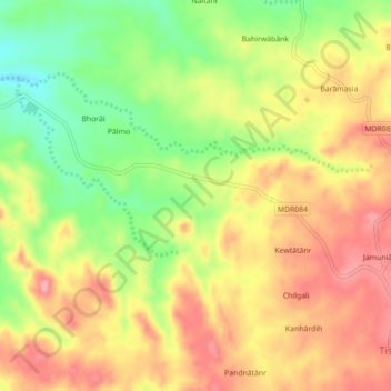
Name: Tisri topographic map, elevation, terrain.
Location: Tisri, Girīdīh, Giridih, Jharkhand, 815317, India (24.57470 86.02120 24.61470 86.06120)
Average elevation: 899 ft
Minimum elevation: 689 ft
Maximum elevation: 1,070 ft