
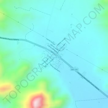
La Central topographic map
Interactive map
Click on the map to display elevation.
About this map
Name: La Central topographic map, elevation, terrain.
Location: La Central, Manzanillo, Colima, México (19.13882 -104.44242 19.14692 -104.43406)
Average elevation: 328 ft
Minimum elevation: 75 ft
Maximum elevation: 1,447 ft