
Gaziler topographic map
Interactive map
Click on the map to display elevation.
About this map
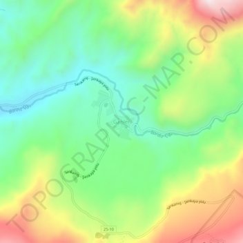
Name: Gaziler topographic map, elevation, terrain.
Location: Gaziler, Şenkaya, Erzurum, Eastern Anatolia Region, Turkey (40.40863 42.32778 40.44863 42.36778)
Average elevation: 6,263 ft
Minimum elevation: 5,410 ft
Maximum elevation: 7,671 ft