
Pionki topographic map
Interactive map
Click on the map to display elevation.
About this map
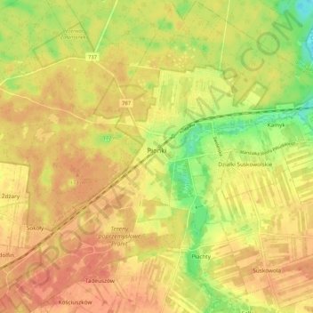
Name: Pionki topographic map, elevation, terrain.
Location: Pionki, powiat radomski, Masovian Voivodeship, 26-670, Poland (51.43943 21.39544 51.50412 21.49964)
Average elevation: 522 ft
Minimum elevation: 423 ft
Maximum elevation: 574 ft