
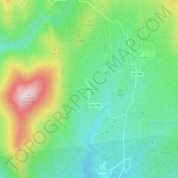
Robleluengo topographic map
Interactive map
Click on the map to display elevation.
About this map
Name: Robleluengo topographic map, elevation, terrain.
Location: Robleluengo, Guadalajara, Castilla-La Mancha, 19223, España (41.08449 -3.33896 41.12449 -3.29896)
Average elevation: 3,937 ft
Minimum elevation: 3,481 ft
Maximum elevation: 4,865 ft