
Barnala topographic map
Interactive map
Click on the map to display elevation.
About this map
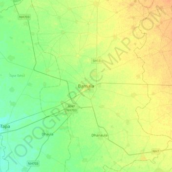
Name: Barnala topographic map, elevation, terrain.
Location: Barnala, Barnala Tahsil, Barnala, Punjab, India (30.21620 75.38359 30.53620 75.70359)
Average elevation: 755 ft
Minimum elevation: 719 ft
Maximum elevation: 797 ft