
Chanchan topographic map
Interactive map
Click on the map to display elevation.
About this map
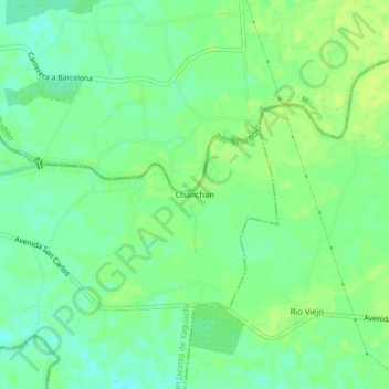
Name: Chanchan topographic map, elevation, terrain.
Location: Chanchan, San Jacinto de Yaguachi, Guayas, Ecuador (-2.26589 -79.53975 -2.22589 -79.49975)
Average elevation: 85 ft
Minimum elevation: 56 ft
Maximum elevation: 105 ft