
Ciudad Encantada topographic map
Interactive map
Click on the map to display elevation.
About this map
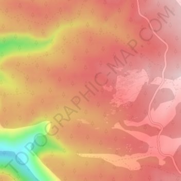
Name: Ciudad Encantada topographic map, elevation, terrain.
Average elevation: 4,449 ft
Minimum elevation: 3,776 ft
Maximum elevation: 4,715 ft
Other topographic maps
Click on a map to view its topography, its elevation and its terrain.
La Melgosa
España > Castilla-La Mancha > Cuenca
La Melgosa, Cuenca, Castilla-La Mancha, 16193, España
Average elevation: 3,189 ft
Fuente Carrasca
España > Castilla-La Mancha > Cuenca
Fuente Carrasca, Cuenca, Castilla-La Mancha, 16001, España
Average elevation: 3,750 ft
Ocejón
España > Castilla-La Mancha > Cuenca
Ocejón, Cuenca, Castilla-La Mancha, España
Average elevation: 5,407 ft