
Osceola topographic map
Interactive map
Click on the map to display elevation.
About this map
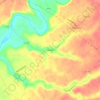
Name: Osceola topographic map, elevation, terrain.
Location: Osceola, Warren County, Ohio, United States (39.32173 -84.07521 39.36173 -84.03521)
Average elevation: 850 ft
Minimum elevation: 702 ft
Maximum elevation: 942 ft