
West Alexandria topographic map
Interactive map
Click on the map to display elevation.
About this map
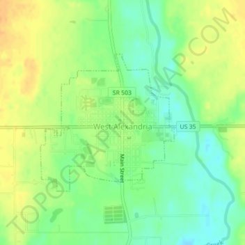
Name: West Alexandria topographic map, elevation, terrain.
Location: West Alexandria, Preble County, Ohio, United States (39.73735 -84.54397 39.75244 -84.52480)
Average elevation: 899 ft
Minimum elevation: 843 ft
Maximum elevation: 951 ft