
Mértola topographic map
Interactive map
Click on the map to display elevation.
About this map
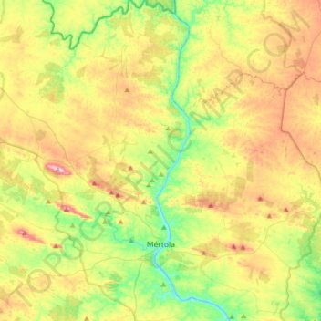
Name: Mértola topographic map, elevation, terrain.
Location: Mértola, MTL, Beja, Baixo Alentejo, Alentejo, Portugal (37.58225 -7.76404 37.83202 -7.56507)
Average elevation: 476 ft
Minimum elevation: -3 ft
Maximum elevation: 1,161 ft