
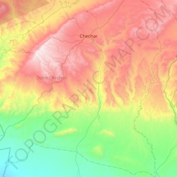
Chechar topographic map
Interactive map
Click on the map to display elevation.
About this map
Name: Chechar topographic map, elevation, terrain.
Location: Chechar, Daïra Chechar, Khenchela, Algérie (34.69511 6.87199 35.12456 7.21974)
Average elevation: 2,562 ft
Minimum elevation: 272 ft
Maximum elevation: 5,968 ft