
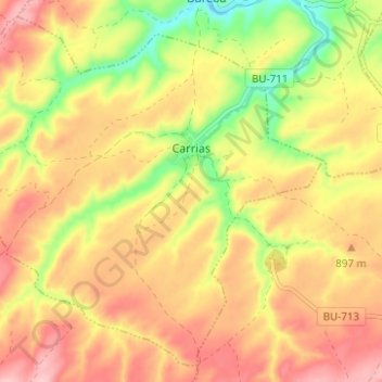
Carrias topographic map
Interactive map
Click on the map to display elevation.
About this map
Name: Carrias topographic map, elevation, terrain.
Location: Carrias, Pradoluengo, Castile and León, Spain (42.45556 -3.32398 42.49742 -3.26194)
Average elevation: 2,861 ft
Minimum elevation: 2,552 ft
Maximum elevation: 3,091 ft