
Ceresdorp topographic map
Interactive map
Click on the map to display elevation.
About this map
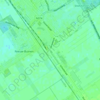
Name: Ceresdorp topographic map, elevation, terrain.
Location: Ceresdorp, Groningen, Niederlande, 9503GD, Niederlande (52.94674 6.95109 52.98674 6.99109)
Average elevation: 20 ft
Minimum elevation: 7 ft
Maximum elevation: 33 ft