
Parque Náutico topographic map
Interactive map
Click on the map to display elevation.
About this map
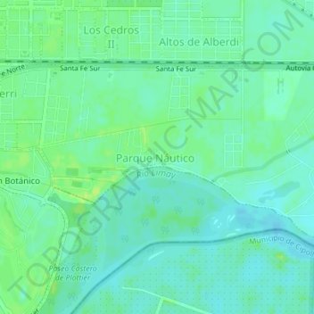
Name: Parque Náutico topographic map, elevation, terrain.
Average elevation: 899 ft
Minimum elevation: 879 ft
Maximum elevation: 925 ft
Other topographic maps
Click on a map to view its topography, its elevation and its terrain.
América Norte
Argentina > Neuquén > Plottier
América Norte, Plottier, Municipio de Plottier, Departamento Confluencia, Neuquén, Argentina
Average elevation: 909 ft