Geolocate

Camachile topographic map

Click on the map to display elevation.

About this map

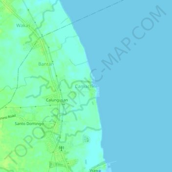
Name: Camachile topographic map, elevation, terrain.

Location: Camachile, Orion, Bataan, Central Luzon, 2102, Philippines (14.62335 120.56119 14.66335 120.60119)

Average elevation: 10 ft

Minimum elevation: 0 ft

Maximum elevation: 36 ft

Gear up for your next adventure:

🪶Camping Sleeping Pad - Comfortable sleeping pad for backpacking
🌐World Map Poster - Decorative world maps with topographic info
🪶Compact Camp Shovel - Folding shovel for campsite tasks
🧭Hiking Compass - Precision compass for reliable navigation in the wilderness
❄️Traction Cleats - Prevent slips on icy trails during winter hikes

As an Amazon Associate, this site earns from qualifying purchases at no extra cost to you.