
Sher topographic map
Interactive map
Click on the map to display elevation.
About this map
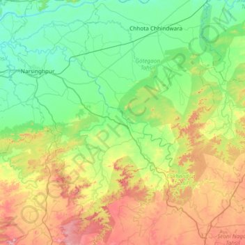
Name: Sher topographic map, elevation, terrain.
Average elevation: 1,535 ft
Minimum elevation: 1,043 ft
Maximum elevation: 2,762 ft
Other topographic maps
Click on a map to view its topography, its elevation and its terrain.
Gotegaon Tahsil
India > Madhya Pradesh > Gotegaon Tahsil
Gotegaon Tahsil, Narsimhapur, Madhya Pradesh, India
Average elevation: 1,319 ft