
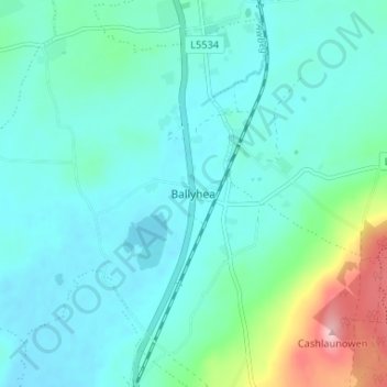
Springfort topographic map
Interactive map
Click on the map to display elevation.
About this map
Name: Springfort topographic map, elevation, terrain.
Location: Springfort, Ballyhea, County Cork, Munster, Ireland (52.28940 -8.68879 52.32940 -8.64879)
Average elevation: 387 ft
Minimum elevation: 289 ft
Maximum elevation: 840 ft