
Сарыөзек – Жаркент topographic map
Interactive map
Click on the map to display elevation.
About this map
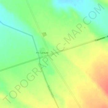
Name: Сарыөзек – Жаркент topographic map, elevation, terrain.
Average elevation: 3,123 ft
Minimum elevation: 3,041 ft
Maximum elevation: 3,212 ft