
Onstwedde topographic map
Interactive map
Click on the map to display elevation.
About this map
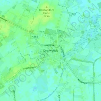
Name: Onstwedde topographic map, elevation, terrain.
Location: Onstwedde, Groningen, Niederlande, 9591, Niederlande (53.01679 7.01889 53.05679 7.05889)
Average elevation: 13 ft
Minimum elevation: -3 ft
Maximum elevation: 33 ft