
Trahütten topographic map
Interactive map
Click on the map to display elevation.
About this map
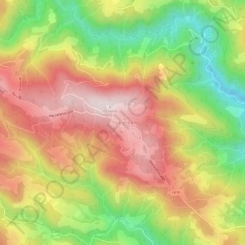
Name: Trahütten topographic map, elevation, terrain.
Average elevation: 2,559 ft
Minimum elevation: 1,562 ft
Maximum elevation: 3,435 ft
Other topographic maps
Click on a map to view its topography, its elevation and its terrain.
Paraplui
Österreich > Steiermark > Bezirk Deutschlandsberg > Deutschlandsberg
Paraplui, Deutschlandsberg, Bezirk Deutschlandsberg, Steiermark, Österreich
Average elevation: 2,756 ft