
Portage Marsh State Wildlife Management Area topographic map
Interactive map
Click on the map to display elevation.
About this map
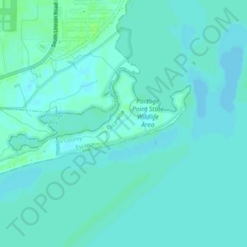
Name: Portage Marsh State Wildlife Management Area topographic map, elevation, terrain.
Average elevation: 577 ft
Minimum elevation: 568 ft
Maximum elevation: 594 ft