
John B. Yeon State Scenic Corridor topographic map
Interactive map
Click on the map to display elevation.
About this map
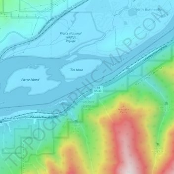
Name: John B. Yeon State Scenic Corridor topographic map, elevation, terrain.
Average elevation: 650 ft
Minimum elevation: -7 ft
Maximum elevation: 3,068 ft