
Mandia topographic map
Interactive map
Click on the map to display elevation.
About this map
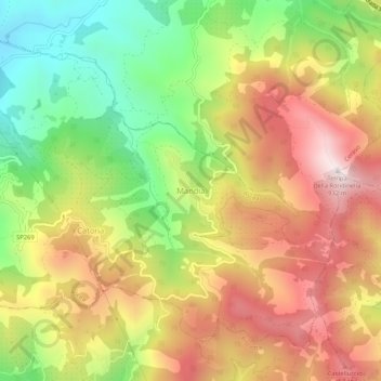
Name: Mandia topographic map, elevation, terrain.
Location: Mandia, Salerno, Campania, 84066, Italia (40.13382 15.22991 40.17382 15.26991)
Average elevation: 1,680 ft
Minimum elevation: 344 ft
Maximum elevation: 3,002 ft