
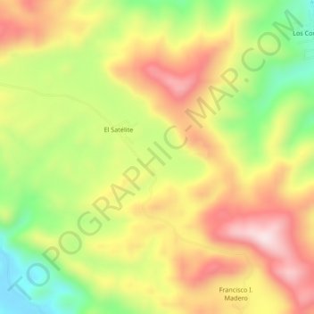
El Satélite topographic map
Interactive map
Click on the map to display elevation.
About this map
Name: El Satélite topographic map, elevation, terrain.
Location: El Satélite, Las Choapas, Veracruz, Mexico (17.27139 -93.81917 17.31139 -93.77917)
Average elevation: 1,040 ft
Minimum elevation: 276 ft
Maximum elevation: 1,745 ft