
Teesdale topographic map
Interactive map
Click on the map to display elevation.
About this map
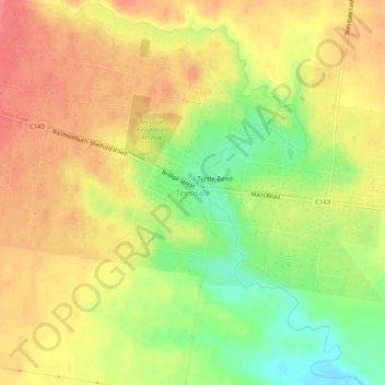
Name: Teesdale topographic map, elevation, terrain.
Location: Teesdale, Golden Plains Shire, Victoria, 3328, Australia (-38.04875 144.02759 -38.00875 144.06759)
Average elevation: 413 ft
Minimum elevation: 295 ft
Maximum elevation: 492 ft