
Bunnik topographic map
Interactive map
Click on the map to display elevation.
About this map
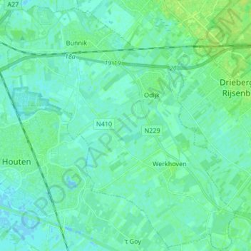
Name: Bunnik topographic map, elevation, terrain.
Location: Bunnik, Utrecht, Nederland (51.99774 5.15303 52.08056 5.28015)
Average elevation: 10 ft
Minimum elevation: -7 ft
Maximum elevation: 30 ft
Topografische gemeentekaart van Bunnik, per december 2016. Klik op de kaart voor vergroting.