
Hulsbeek topographic map
Interactive map
Click on the map to display elevation.
About this map
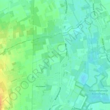
Name: Hulsbeek topographic map, elevation, terrain.
Location: Hulsbeek, Geetbets, Vlaams-Brabant, Vlaanderen, 3450, België (50.91290 5.12084 50.91318 5.12237)
Average elevation: 92 ft
Minimum elevation: 56 ft
Maximum elevation: 161 ft