
Ries topographic map
Interactive map
Click on the map to display elevation.
About this map
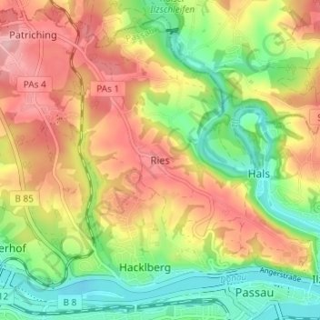
Name: Ries topographic map, elevation, terrain.
Location: Ries, Passau, Bayern, 94034, Deutschland (48.57138 13.42308 48.61138 13.46308)
Average elevation: 1,201 ft
Minimum elevation: 942 ft
Maximum elevation: 1,480 ft