
Vance topographic map
Interactive map
Click on the map to display elevation.
About this map
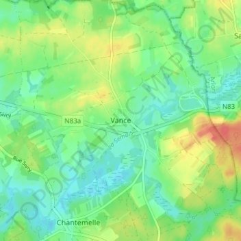
Name: Vance topographic map, elevation, terrain.
Location: Vance, Étalle, Luxembourg, Wallonie, 6741, Belgique (49.65048 5.64601 49.69048 5.68601)
Average elevation: 1,142 ft
Minimum elevation: 1,079 ft
Maximum elevation: 1,247 ft