
La Mata topographic map
Interactive map
Click on the map to display elevation.
About this map
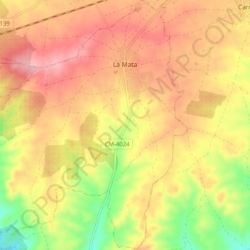
Name: La Mata topographic map, elevation, terrain.
Location: La Mata, Torrijos, Toledo, Castilla-La Mancha, España (39.90189 -4.48555 39.95712 -4.42018)
Average elevation: 1,808 ft
Minimum elevation: 1,535 ft
Maximum elevation: 2,001 ft