
Santa Marta topographic map
Interactive map
Click on the map to display elevation.
About this map
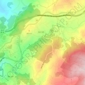
Name: Santa Marta topographic map, elevation, terrain.
Location: Santa Marta, Penafiel, Porto, Tâmega e Sousa, Norte, Portugal (41.19463 -8.27282 41.22522 -8.23213)
Average elevation: 1,168 ft
Minimum elevation: 617 ft
Maximum elevation: 1,726 ft
Other topographic maps
Click on a map to view its topography, its elevation and its terrain.