
Port Antonio topographic map
Interactive map
Click on the map to display elevation.
About this map
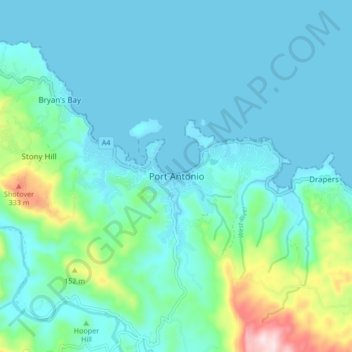
Name: Port Antonio topographic map, elevation, terrain.
Location: Port Antonio, Portland, Surrey County, +1876, Jamaika (18.13636 -76.48593 18.21636 -76.40593)
Average elevation: 226 ft
Minimum elevation: -3 ft
Maximum elevation: 1,391 ft