
Deurne topographic map
Interactive map
Click on the map to display elevation.
About this map
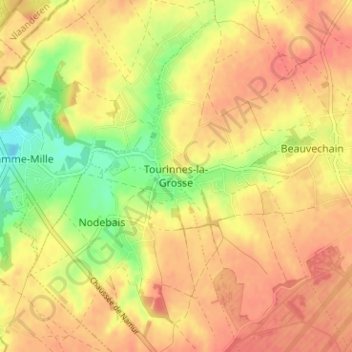
Name: Deurne topographic map, elevation, terrain.
Location: Deurne, Waals-Brabant, Wallonië, 1320, België (50.75777 4.72721 50.79777 4.76721)
Average elevation: 285 ft
Minimum elevation: 164 ft
Maximum elevation: 354 ft