
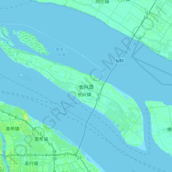
长兴岛 topographic map
Interactive map
Click on the map to display elevation.
About this map
Name: 长兴岛 topographic map, elevation, terrain.
Location: 长兴岛, 长兴镇, 崇明区, 上海市, 中国 (31.31154 121.50838 31.49405 121.79191)
Average elevation: 3 ft
Minimum elevation: -7 ft
Maximum elevation: 62 ft