
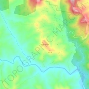
Upper Brogo topographic map
Interactive map
Click on the map to display elevation.
About this map
Name: Upper Brogo topographic map, elevation, terrain.
Location: Upper Brogo, Bega Valley Shire Council, Australia (-36.50167 149.74778 -36.46167 149.78778)
Average elevation: 505 ft
Minimum elevation: 167 ft
Maximum elevation: 1,211 ft