
春城街道 topographic map
Interactive map
Click on the map to display elevation.
About this map
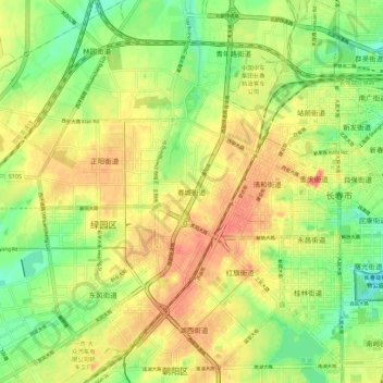
Name: 春城街道 topographic map, elevation, terrain.
Location: 春城街道, 绿园区, 长春市, 吉林省, 130000, 中国 (43.84504 125.23527 43.92504 125.31527)
Average elevation: 745 ft
Minimum elevation: 656 ft
Maximum elevation: 820 ft