
周村镇 topographic map
Interactive map
Click on the map to display elevation.
About this map
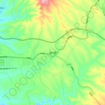
Name: 周村镇 topographic map, elevation, terrain.
Location: 周村镇, 泽州县, 晋城市, 山西省, 中国 (35.43510 112.58000 35.51510 112.66000)
Average elevation: 2,375 ft
Minimum elevation: 1,923 ft
Maximum elevation: 3,241 ft