
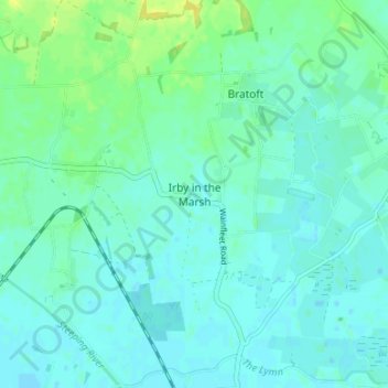
Irby in the Marsh topographic map
Interactive map
Click on the map to display elevation.
About this map
Name: Irby in the Marsh topographic map, elevation, terrain.
Average elevation: 16 ft
Minimum elevation: -3 ft
Maximum elevation: 56 ft
Other topographic maps
Click on a map to view its topography, its elevation and its terrain.
Irby in the Marsh
United Kingdom > England > East Lindsey > Irby in the Marsh
Irby in the Marsh, East Lindsey, Lincolnshire, East Midlands, England, United Kingdom
Average elevation: 13 ft