
Parque Nacional Volcán Irazú, sector Prusia topographic map
Click on the map to display elevation.
About this map
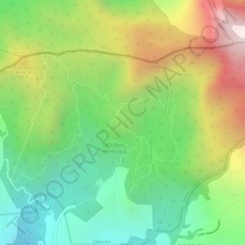
Name: Parque Nacional Volcán Irazú, sector Prusia topographic map, elevation, terrain.
Average elevation: 9,501 ft
Minimum elevation: 8,297 ft
Maximum elevation: 11,122 ft
Other topographic maps
Click on a map to view its topography, its elevation and its terrain.