Geolocate

Santo Domingo topographic map

Click on the map to display elevation.

About this map

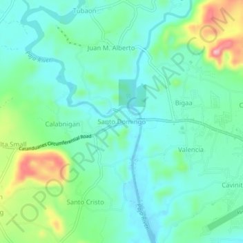
Name: Santo Domingo topographic map, elevation, terrain.

Location: Santo Domingo, Catanduanes, Bicol Region, 4800, Philippines (13.57036 124.16252 13.61036 124.20252)

Average elevation: 151 ft

Minimum elevation: 10 ft

Maximum elevation: 558 ft

Gear up for your next adventure:

🪶Thermal Camp Blanket - Extra warmth for cold nights
🛌Ultralight Sleeping Bags - Compact down bags for cold nights in the wilderness
📡GPS Antenna Upgrade - Enhance GPS reception in remote terrain
🔋Rechargeable Batteries - Power up your outdoor devices
🥤Water Filter Bottle - All‑in‑one filter bottle for safe hydration

As an Amazon Associate, this site earns from qualifying purchases at no extra cost to you.