
Santo Rosario topographic map
Interactive map
Click on the map to display elevation.
About this map
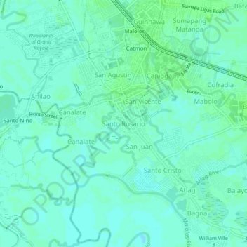
Name: Santo Rosario topographic map, elevation, terrain.
Location: Santo Rosario, Bulacan, Central Luzon, 3000, Philippines (14.81913 120.79145 14.85913 120.83145)
Average elevation: 13 ft
Minimum elevation: -3 ft
Maximum elevation: 23 ft