
District de Changning topographic map
Interactive map
Click on the map to display elevation.
About this map
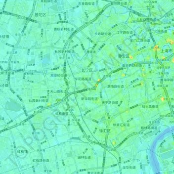
Name: District de Changning topographic map, elevation, terrain.
Location: District de Changning, Shanghai, Chine (31.17958 121.32739 31.24613 121.43483)
Average elevation: 23 ft
Minimum elevation: -13 ft
Maximum elevation: 118 ft
Other topographic maps
Click on a map to view its topography, its elevation and its terrain.