
Bourached topographic map
Interactive map
Click on the map to display elevation.
About this map
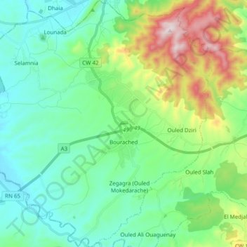
Name: Bourached topographic map, elevation, terrain.
Location: Bourached, Daïra Djelida, Aïn Defla, 44044, Algérie (36.11732 1.83623 36.24052 1.98684)
Average elevation: 1,440 ft
Minimum elevation: 787 ft
Maximum elevation: 3,350 ft