
Cara'd Taié topographic map
Interactive map
Click on the map to display elevation.
About this map
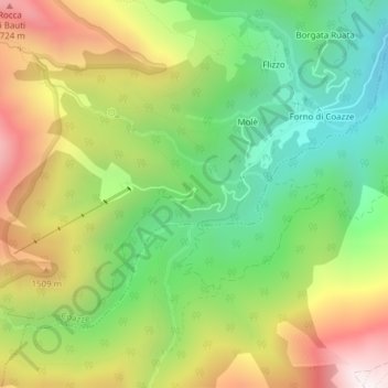
Name: Cara'd Taié topographic map, elevation, terrain.
Location: Cara'd Taié, Molè, Couasse, Turin, Piémont, Italie (45.02094 7.22207 45.04094 7.24207)
Average elevation: 4,170 ft
Minimum elevation: 2,844 ft
Maximum elevation: 5,938 ft
Other topographic maps
Click on a map to view its topography, its elevation and its terrain.