Geolocate

Windward Islands topographic map

Click on the map to display elevation.

About this map

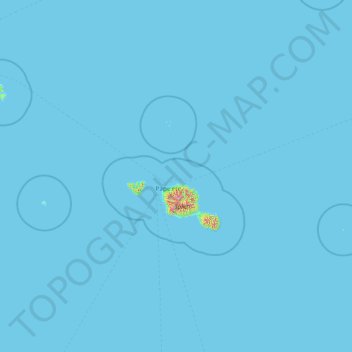
Name: Windward Islands topographic map, elevation, terrain.

Location: Windward Islands, French Polynesia, France (-18.08442 -150.86105 -16.78323 -147.84987)

Average elevation: 16 ft

Minimum elevation: 0 ft

Maximum elevation: 5,692 ft

Other topographic maps

Click on a map to view its topography, its elevation and its terrain.

Tiputa

France > French Polynesia > Tuamotu-Gambier > Rangiroa

Average elevation: 0 ft

Motu Tane

France > French Polynesia

Average elevation: 3 ft

Tatakoto

France > French Polynesia > Tatakoto

Average elevation: 0 ft

Maraa

France > French Polynesia > Windward Islands > Punaʻauiʻa

Average elevation: 2,224 ft

Coral reefs (high)

France > French Polynesia

Average elevation: 20 ft

Motu Teiku

France > French Polynesia > Gambier

Average elevation: 0 ft

Vaitape

France > French Polynesia > Bora-Bora > Vaitape

Average elevation: 72 ft

Faa'a

France > French Polynesia > Faaa

Average elevation: 269 ft

Gear up for your next adventure:

🧴Hand Sanitizer - Keep hands clean while hiking
🎒Hydration Pack - Hands‑free water reservoir for long hikes
👟Men's Trail Runners - Lightweight footwear for fast-paced exploration and light hiking
🪓Survival Multi‑Tool - Versatile tool for camp and trail tasks
🌄Hiking Binoculars - Compact binoculars for scenic views and trail spotting

As an Amazon Associate, this site earns from qualifying purchases at no extra cost to you.