
Ferney-Voltaire topographic map
Interactive map
Click on the map to display elevation.
About this map
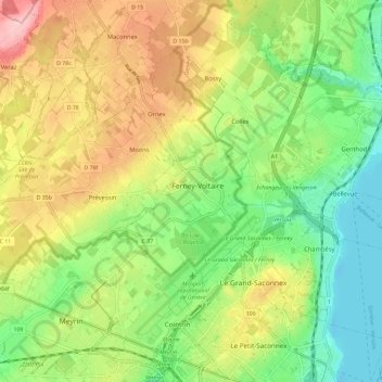
Name: Ferney-Voltaire topographic map, elevation, terrain.
Average elevation: 1,430 ft
Minimum elevation: 1,207 ft
Maximum elevation: 1,732 ft
La superficie de la commune est de 478 hectares ; l'altitude varie entre 409 et 446 mètres.