Geolocate

Mount Ragang topographic map

Click on the map to display elevation.

About this map

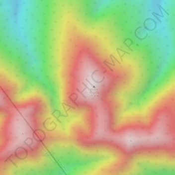
Name: Mount Ragang topographic map, elevation, terrain.

Location: Mount Ragang, Lanao del Sur, Bangsamoro, Philippines (7.70969 124.53458 7.70979 124.53468)

Average elevation: 7,487 ft

Minimum elevation: 6,079 ft

Maximum elevation: 8,635 ft

Other topographic maps

Click on a map to view its topography, its elevation and its terrain.

Kapatagan

Philippines > Lanao del Sur

Average elevation: 722 ft

Gear up for your next adventure:

🥄Camping Utensil Set - Lightweight utensils for outdoor meals
🚗GPS Dash Cams - Record your scenic drives through mountain passes and canyons
🎁Geography Themed Gifts - Unique gift ideas for map lovers and geography enthusiasts
🪓Survival Multi‑Tool - Versatile tool for camp and trail tasks
🌎3D Topographic Globes - Raised relief globes for a tactile understanding of geography

As an Amazon Associate, this site earns from qualifying purchases at no extra cost to you.